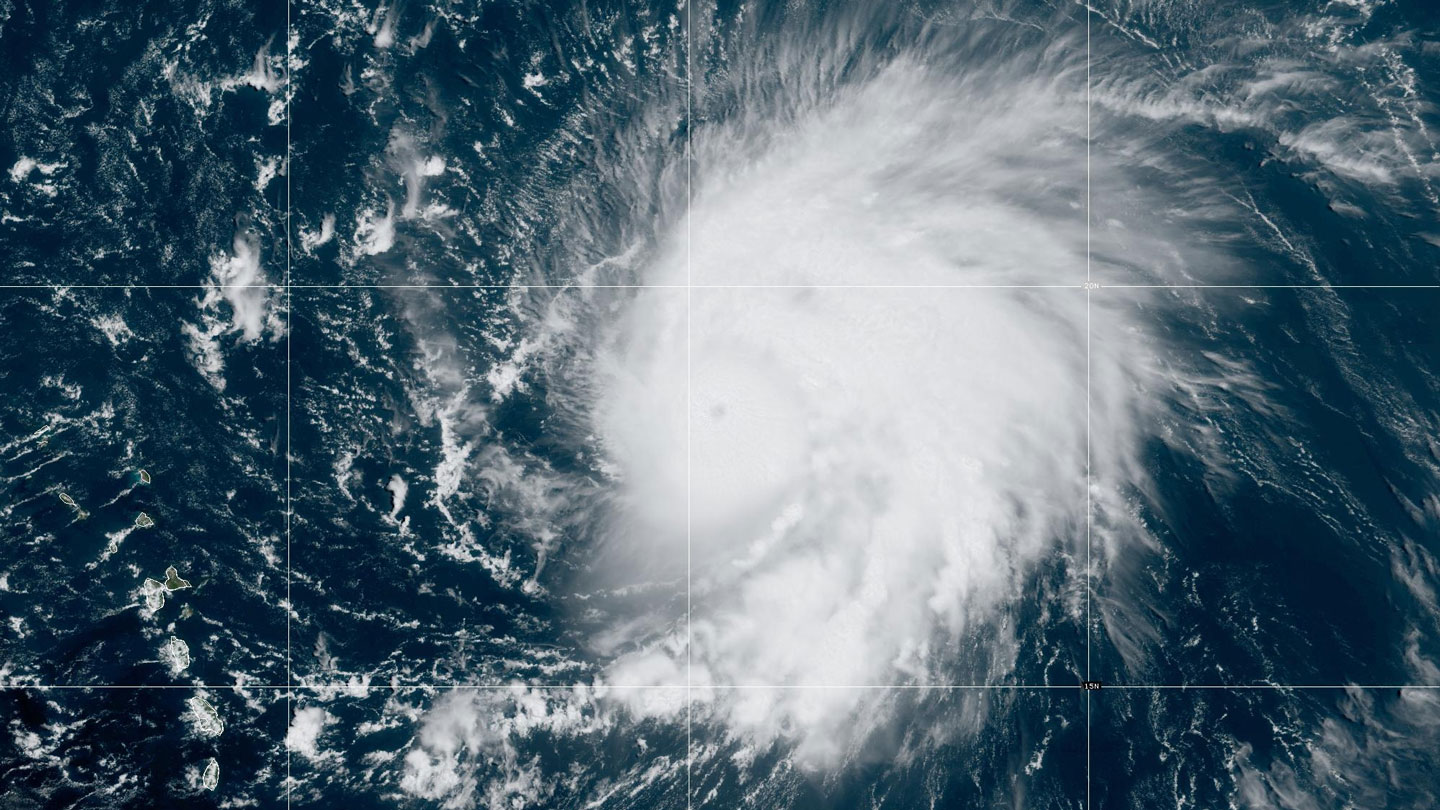
On the morning of September 5, a loosely swirling system of thunderstorms formed off the western coast of Africa. By September 6, the system had become a Category 1 storm, with maximum winds at least 130 kilometers per hour (80 miles per hour).
As the world’s oceans continue to stockpile heat from global warming, stories of such rapid intensification of tropical cyclones are becoming more commonplace, and not just in the Atlantic.
“While all eyes are on [Hurricane Lee], [Hurricane Jova] is bombing out in the eastern Pacific,” wrote Miami-based U.S. National Hurricane Center meteorologist Eric Blake on X, formerly called Twitter, on September 6. “This was just named 36 hours ago and has exploded into a Category 4 hurricane.”
These storms formed just weeks after Hurricane Idalia, which also rapidly intensified. Its wind speeds cranked up from about 120 kph to 209 kph (or 75 mph to 130 mph) in 24 hours. Shortly afterward, Idalia slammed into Florida’s Gulf Coast.
2023-09-13 07:00:00
Original from www.sciencenews.org


