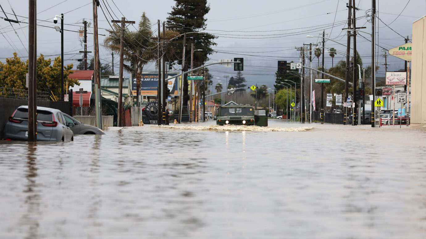
The term “atmospheric river” may sound airy and ethereal, but these massive, fast-moving, drenching storms can hit as hard as a freight train. Since December, the U.S. West has been slammed with back-to-back-to-back atmospheric rivers, the most recent one deluging the state March 15 and another forecast to hit the state in the coming week. These powerful streams of water vapor arrive with strong winds, heavy rains and thick snow, spawning flooding, landslides and avalanches.
Big as they are, these storms are surprisingly tough to see coming. A week’s warning is about the best forecasters can do now.
A team of scientists is trying to change that. In just the past few months, they’ve flown more than three dozen reconnaissance missions into the storms. They’ve launched dozens of weather balloons high into the stratosphere, each carrying instruments to measure temperature, moisture, air pressure and wind. And the scientists have crunched reams of data and run hundreds of computer simulations, all to forecast when the next atmospheric river is going to arrive and how intense it’s likely to be.
The goal of this effort, the team says, is to improve predictions, to give the people in the storms’ path more time to prepare for flooding, and ultimately to find ways to manage the water for the region’s drier months.
It’s a big task, particularly during this year’s seemingly relentless barrage of storms. “We have been hammered here: December, January, February, March,” says meteorologist Marty Ralph. “It has been a long and active season.”
2023-03-19 06:00:00
Original from www.sciencenews.org
